New Jersey USA Nautical Charts Specifications
|
Online Raster Charts for Navigation.
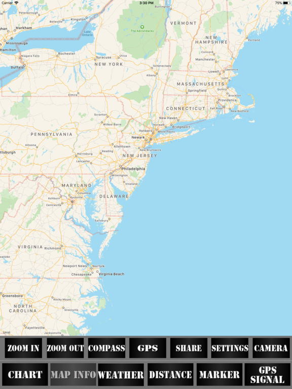
Online Raster Charts for Navigation.
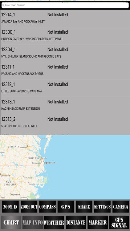
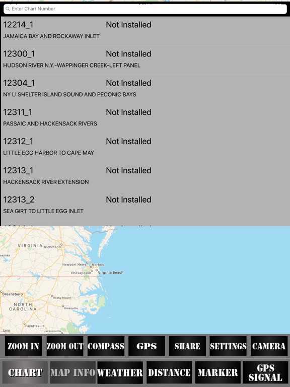
Raster Navigational Charts (RNC's) are created by the National Oceanic and Atmospheric Administration (NOAA) of the United States Government.
NOAA, National Ocean Service, Office of Coast Survey, build and maintains Marine Chart of more than 1000 nautical charts.
Raster Charts are used by mariners to navigate the United States and U. S. territory waters safely.
Features in the APP:
Easy to use maps
List of Raster Navigation Charts Covered
Locate position of user through GPS
Overlay Raster Charts on the Map
Adjust transparency for better visibility
Raster charts are Geo-referenced.
Raster charts displays water depths, coastlines, dangers, aids to navigation, landmarks, bottom characteristics and other features.
Through Car Navigation: GPS Maps navigation has become very easy and efficient as you can search for city-any location map and watch the places...